Agriculture

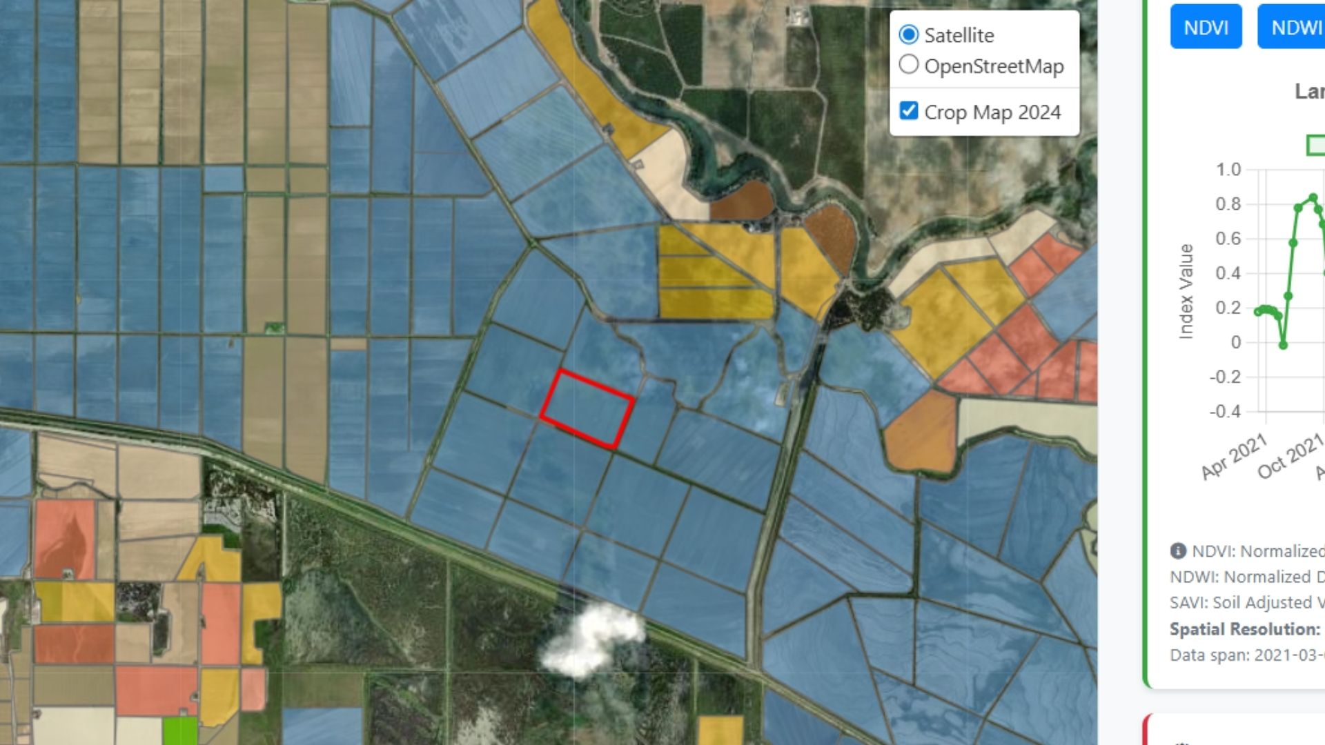
A crop-mapping geoportal: field boundaries coloured by crop type over satellite imagery, with an NDVI time series for the selected field.
Crop mapping in California. Irrigated agriculture is the largest human user of water, and satellite remote sensing can fill critical data gaps on crop identification, growth and water use. Read more
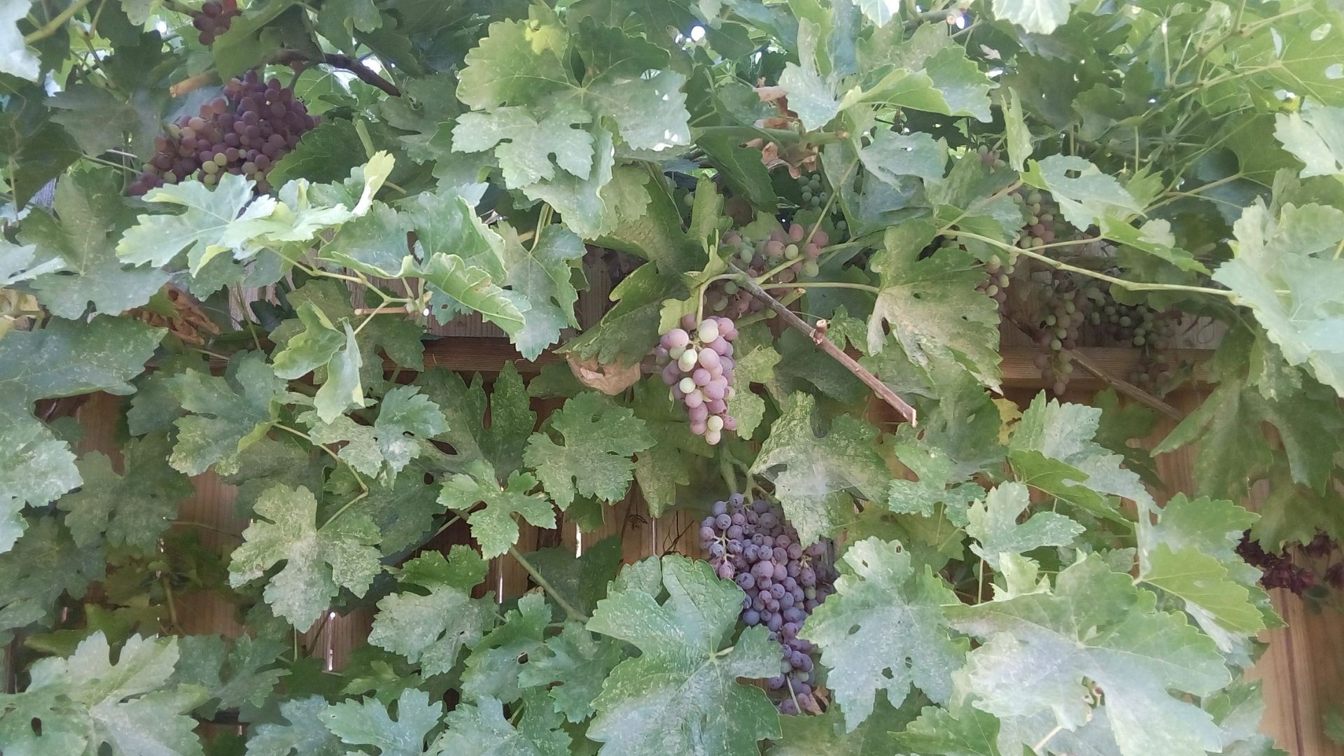
Wine grapes ripening on the vine under a dense canopy.
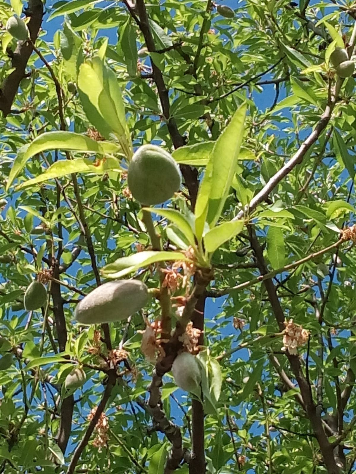
Young almonds developing on a branch in leaf.

Permanent crops like grapes and orchards in many areas require year-round irrigation.
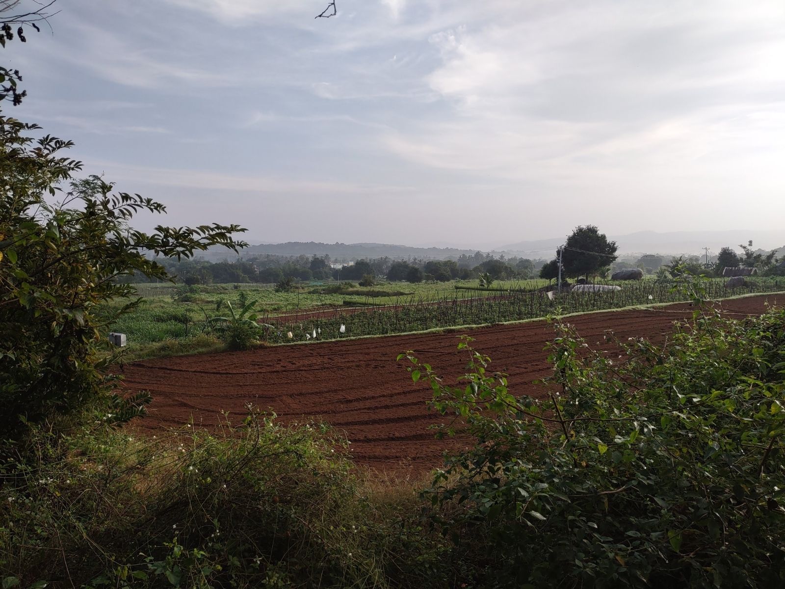
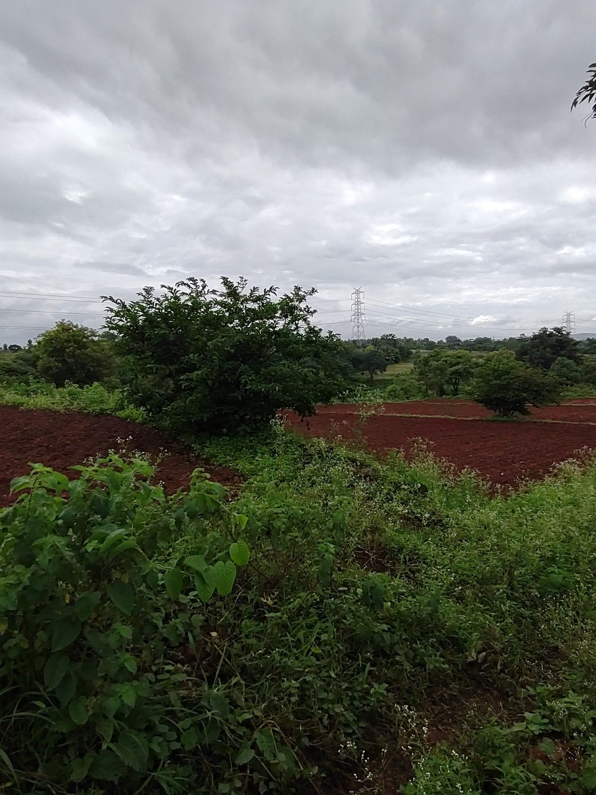
A ploughed red-earth field at first light, with trees along the far edge.
Scrub and cultivated ground under a heavy grey sky.

Rain-fed agriculture on small farms of less than 2–10 acres covers 80% of cropland.

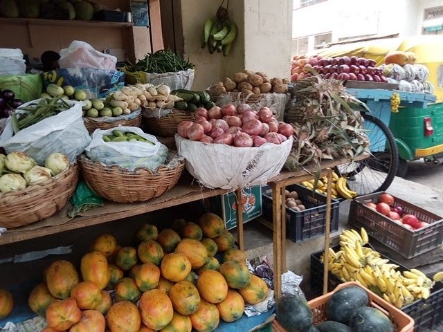
A market stall stacked with mangoes, apples, bananas, gourds and leaf vegetables.
…providing subsistence farming livelihoods to millions around the world.
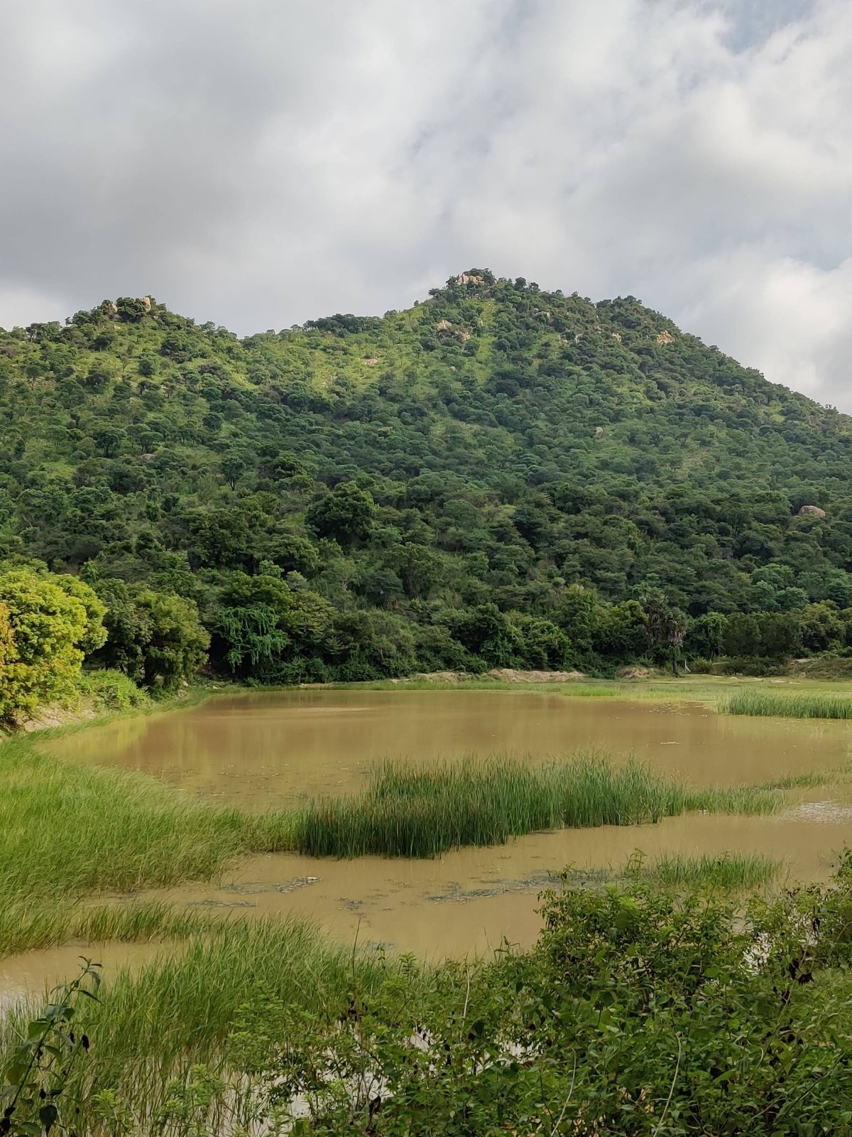
A shallow irrigation tank fringed with reeds below a wooded hill.
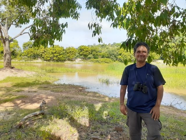
A man standing at the edge of a shallow irrigation tank in tree cover.

Small irrigation ponds are called ‘tanks’ in South Asia…
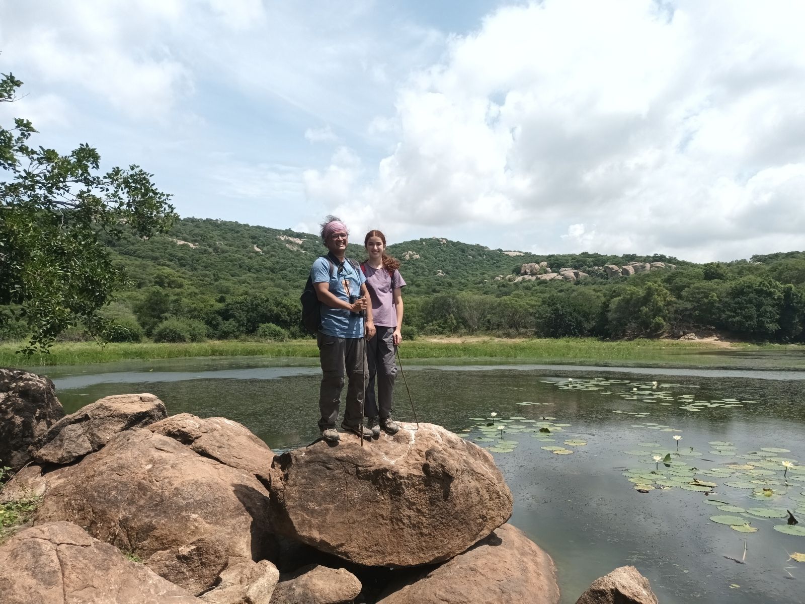
Two people standing on granite boulders at the edge of a tank covered in water lilies.
…providing irrigation water, and important ecosystem services: wildlife habitat, winter migratory birds, and flow regulation.