


March 19, 2026
The food we grow is thirsty
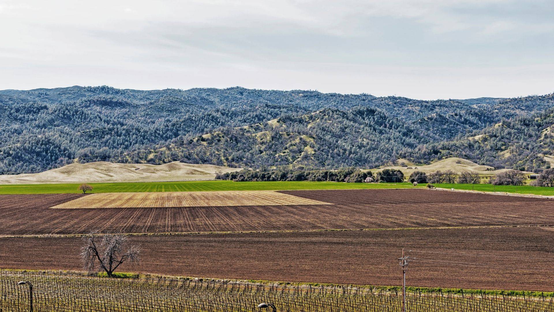
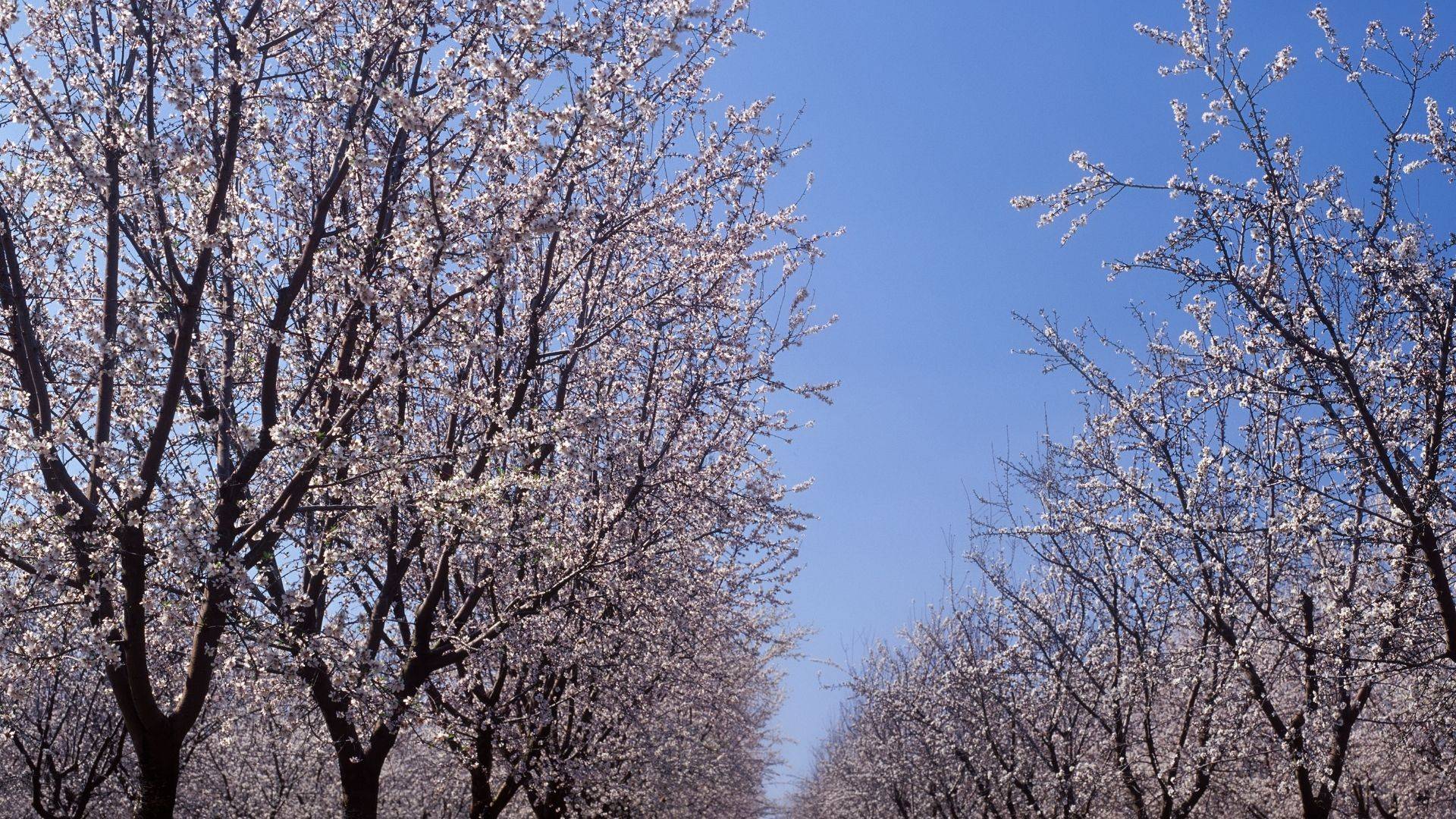
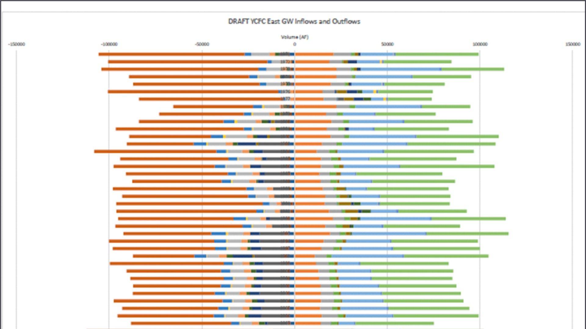
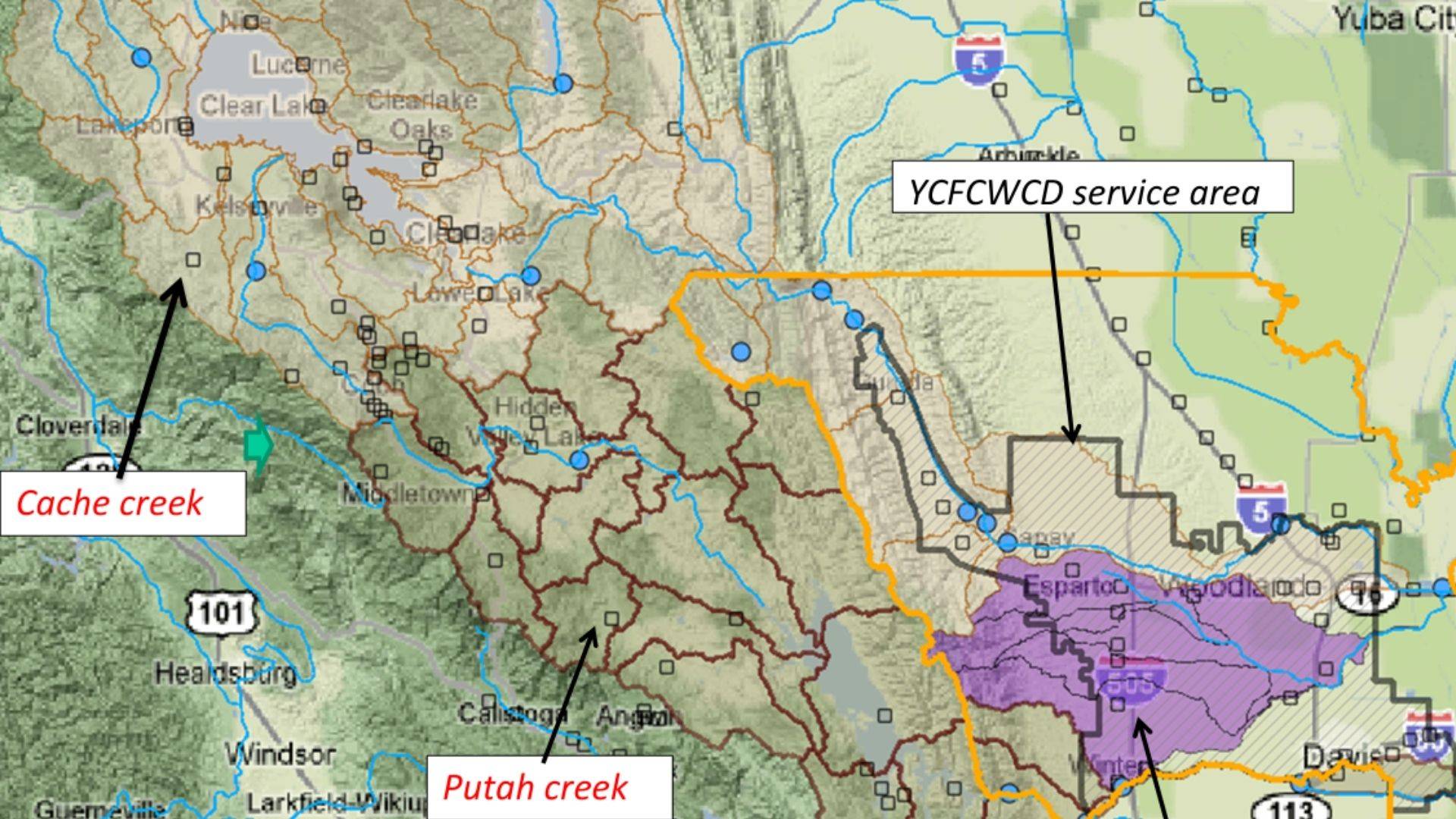
Growing our food consumes plenty of water – globally 70% of human uses of water. Choices in what food we eat have tremdous impact on our planet’s land and water resources, and on our human health.
March 19, 2026
Growing our food consumes plenty of water – globally 70% of human uses of water. Choices in what food we eat have tremdous impact on our planet’s land and water resources, and on our human health.