Water

Groundwater sustainability: Yolo Subbasin, California
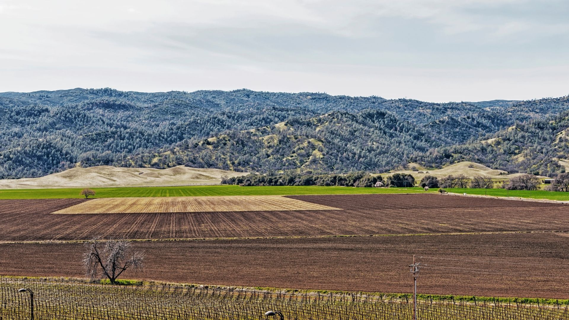
Cultivated valley floor with rolling dry hills beyond.
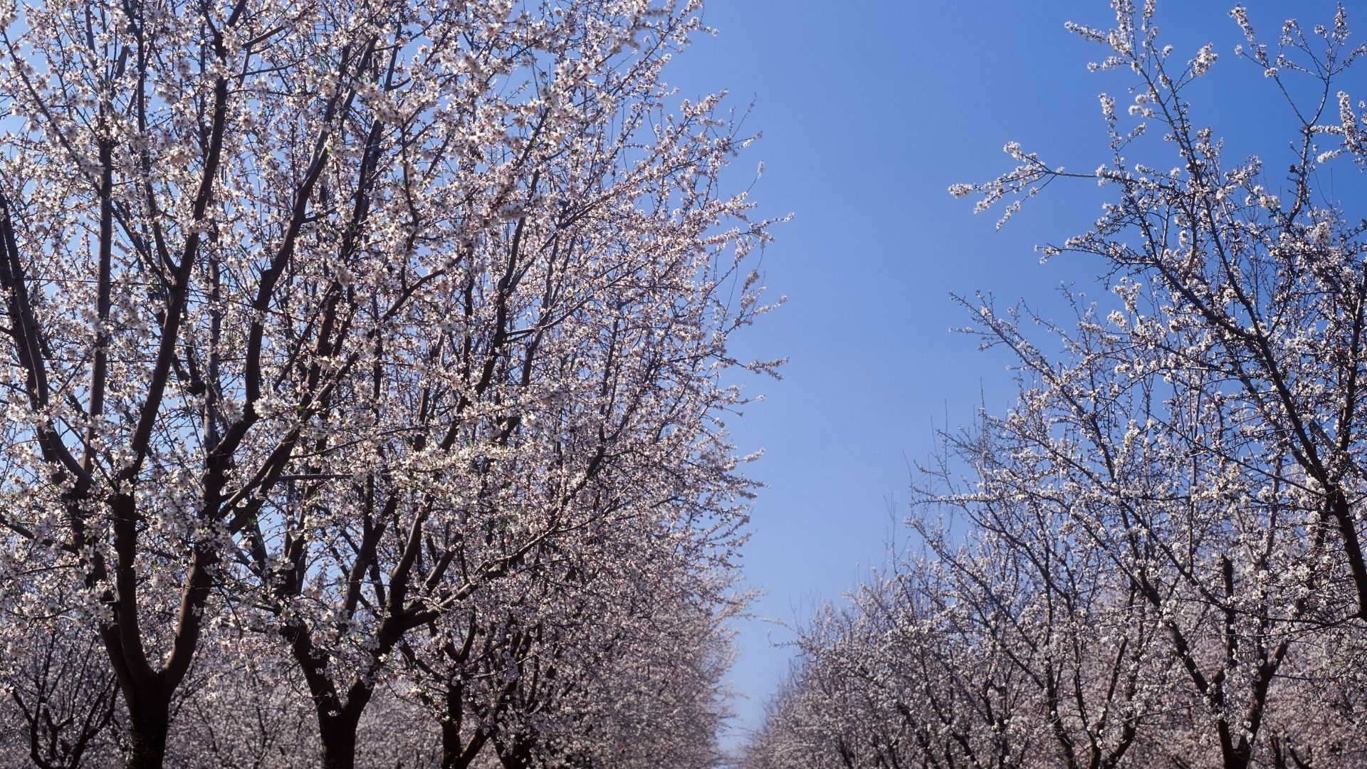
An almond orchard in full blossom against a clear sky.

With 250,000 acres of farmland, agricultural management is a big part of this county’s sustainability plan. Today there are more than 70,000 acres of orchards in the basin.
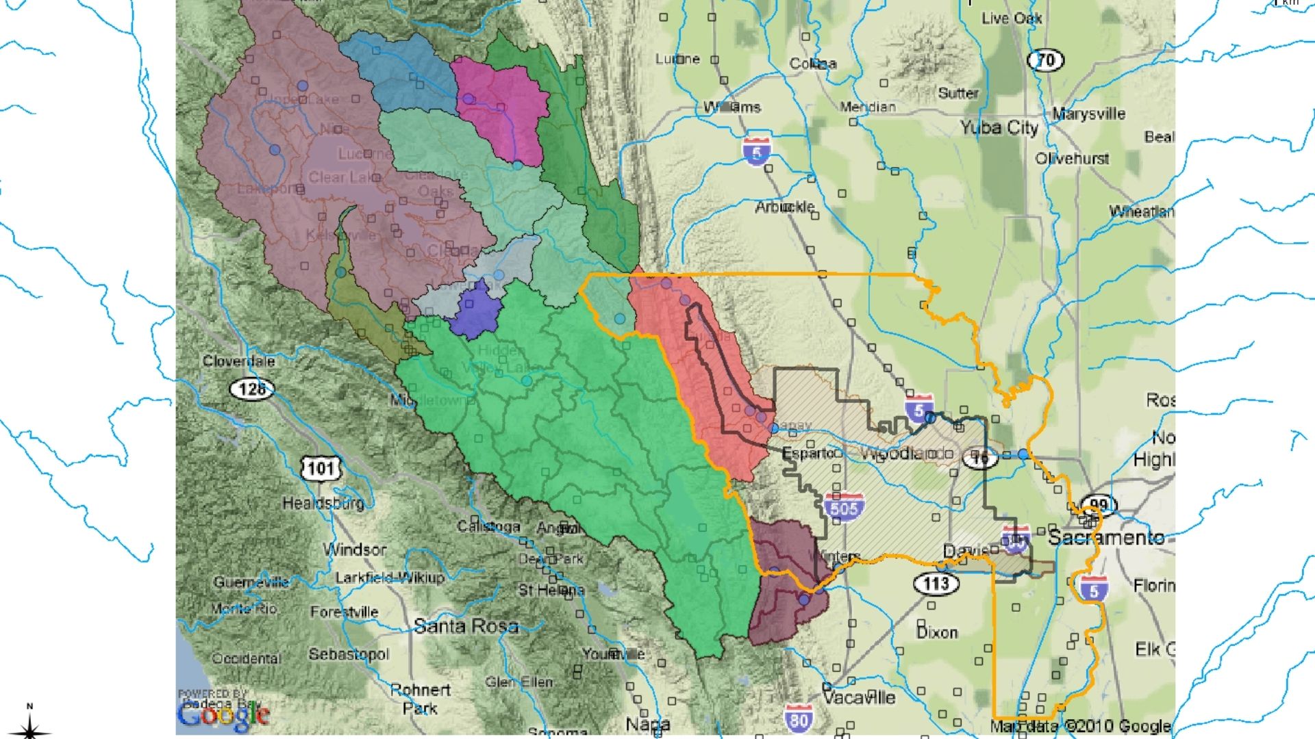
Map of the Yolo subbasin with modeled sub-areas shaded in colour.
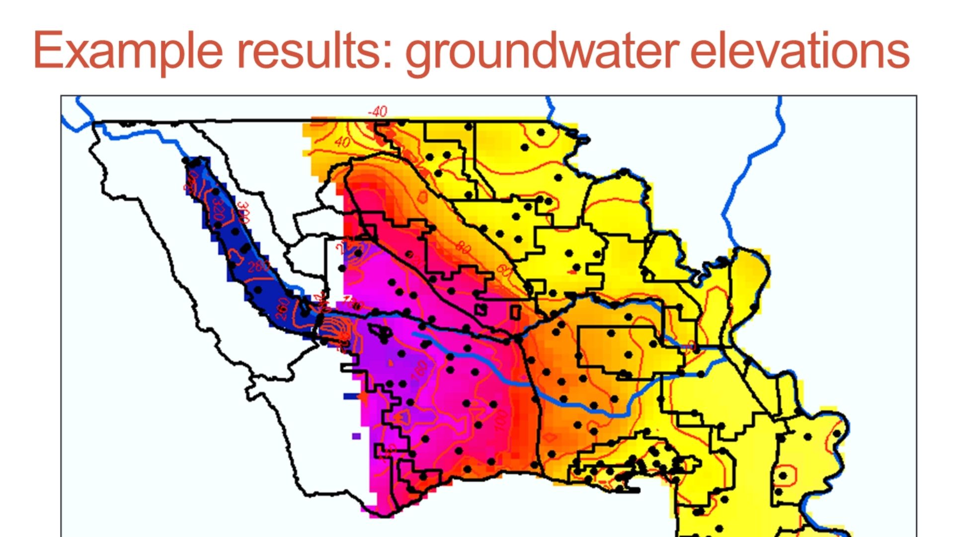
Modelled groundwater elevation surface across the Central Valley, graded from low to high.

We are using integrated groundwater and surface water models to inform land and water management for the next 50 years.
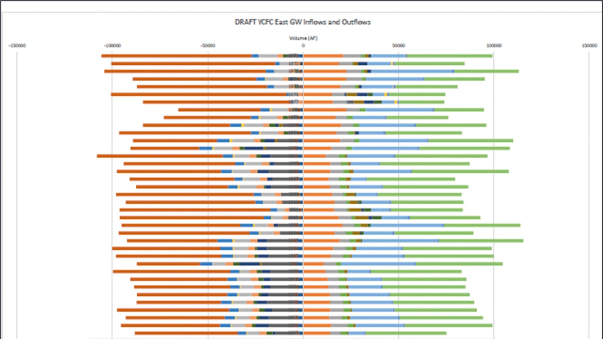
Bar chart of annual groundwater inflows and outflows across a fifty-year simulation.
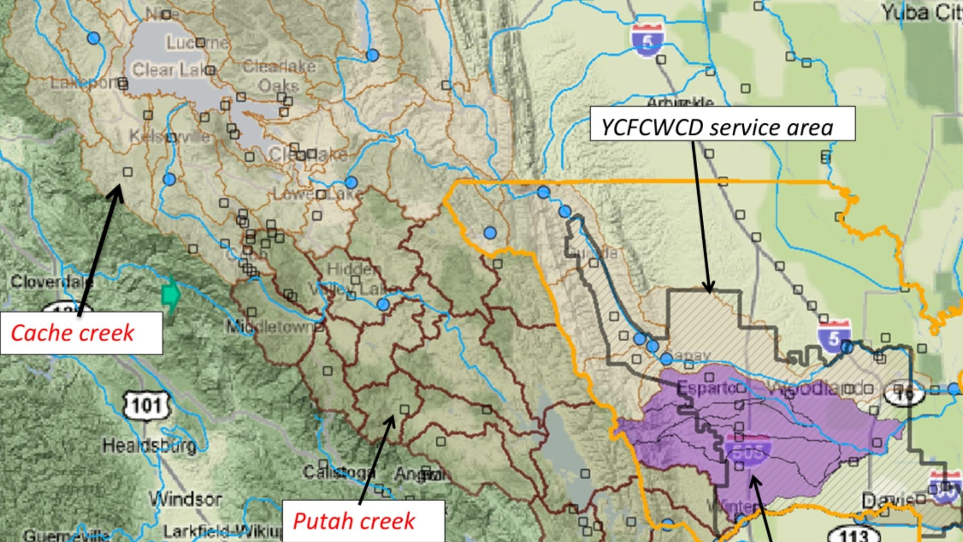
Map of the water conservation district service area, with Cache Creek and Putah Creek marked.

A groundwater budget shows inflows to (right) and (outflows) from the aquifer over 50 years. Read more

Cities and water
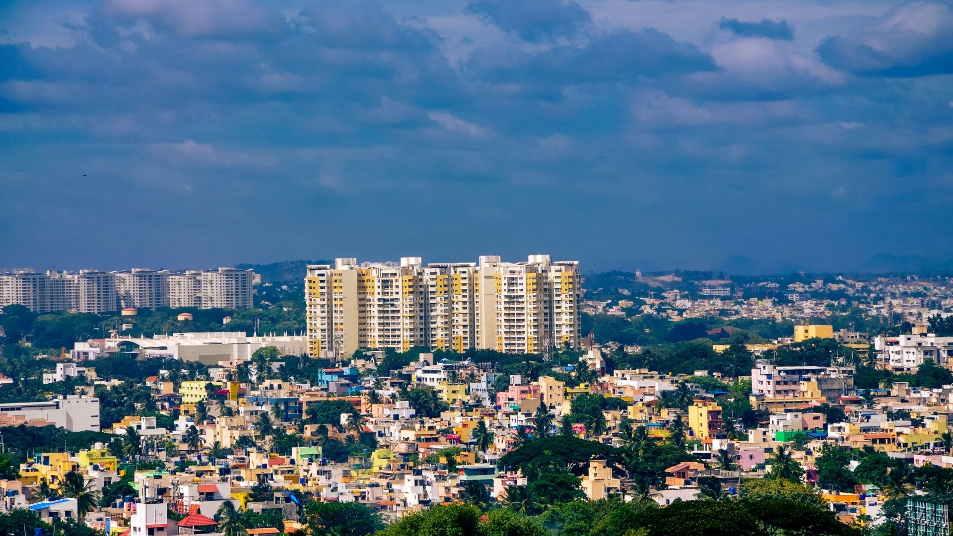
Apartment towers and tree cover across the Bengaluru skyline.
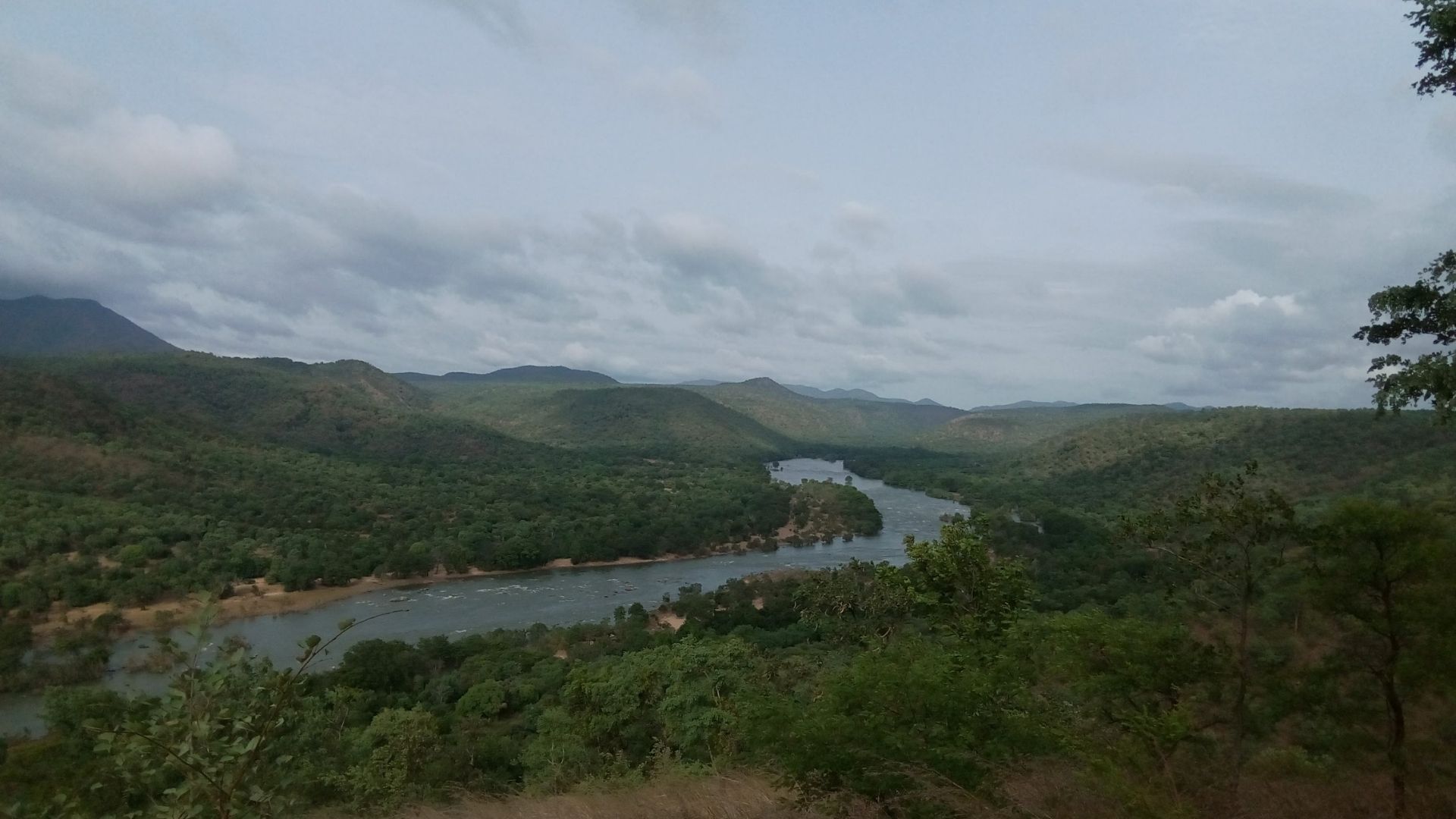
The Kaveri river winding through steep forested hills.
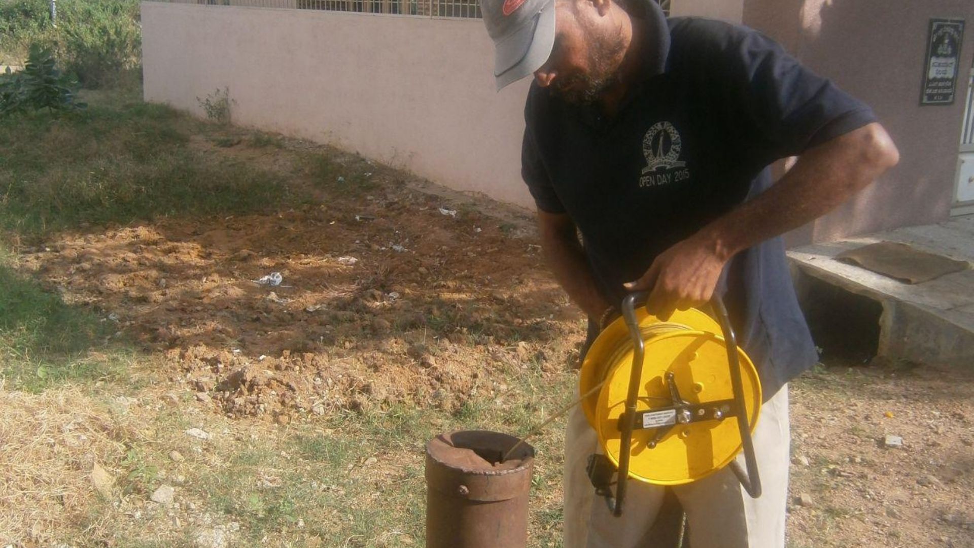
A man lowering a measuring tape into a lined borewell at the edge of a plot.

Urban water management is a major challenge in big cities like Bengaluru, India, which gets some of its water from the Kaveri River a 100km away. And the rest from tens of thousands of private wells.
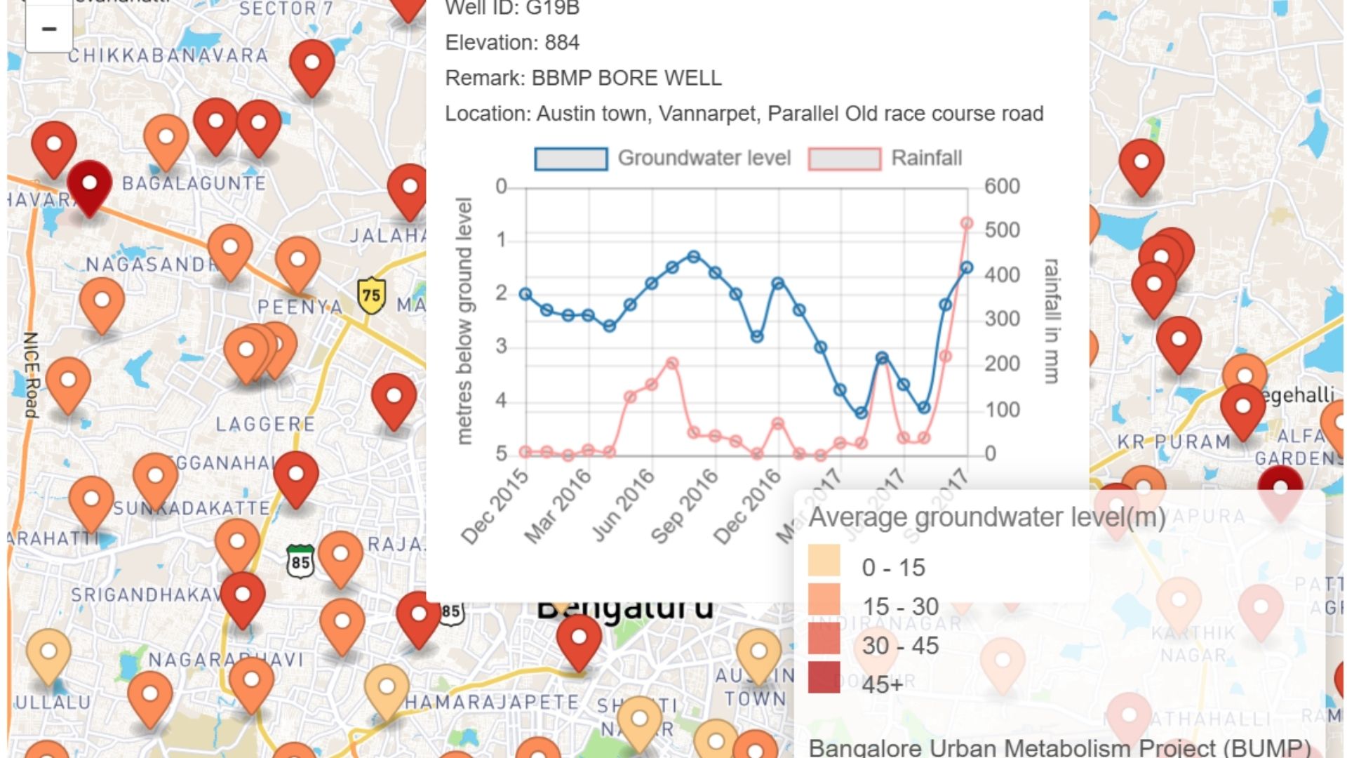
Map of Bengaluru with monitoring wells marked, beside a groundwater level time series for one well.
The Bangalore Urban Metabolism Project website, showing the project description and update sign-up.

This project mapped 2 years of groundwater levels in 150 locations in the city…
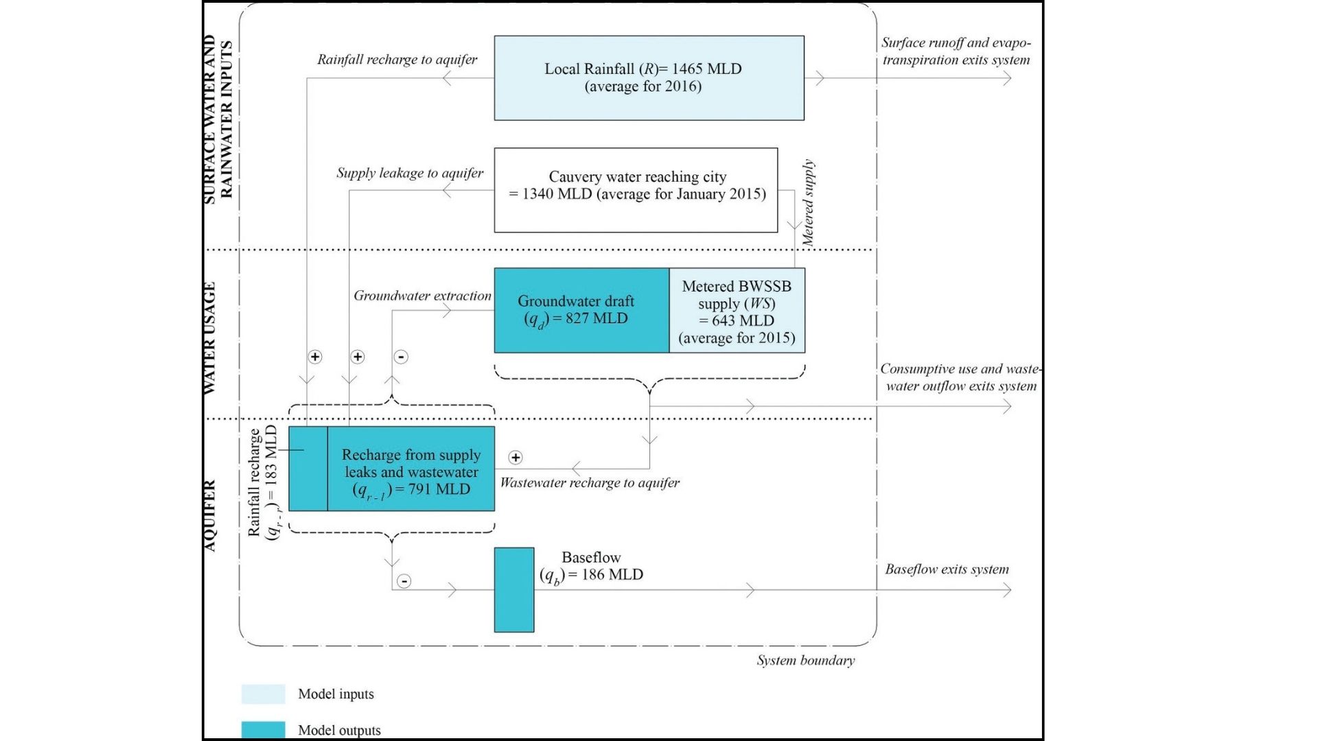
Flow diagram of the neighbourhood water budget, tracing supply, use, wastewater and return flows.
Animated map of average groundwater levels across Bengaluru, changing month by month.

Producing maps and a water budget for the city at neighborhood scale for the first time. Read more on the Bangalore Urban Metabolism Project site