Radar imagery for mapping inundated areas
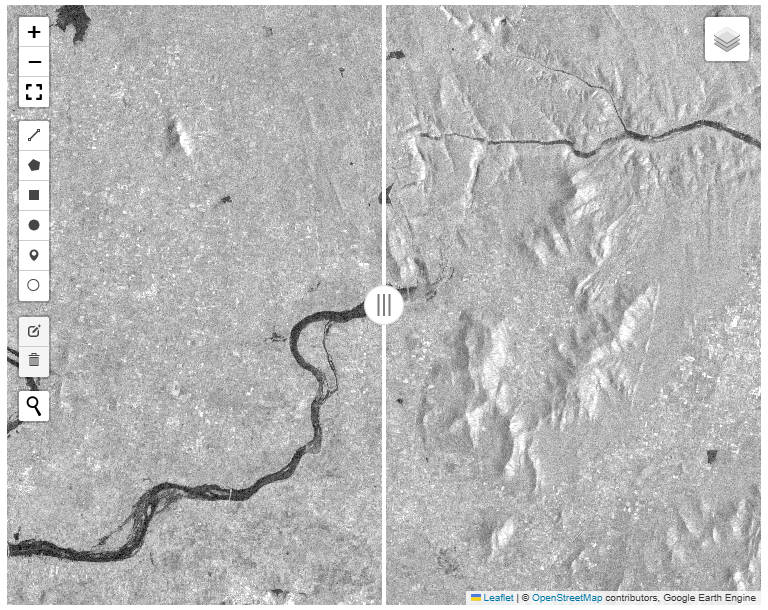
Radar imagery provides a convenient way to map inundated areas, because of it’s ability to penetrate cloud cover. Below, try the application to check out… Read More »Radar imagery for mapping inundated areas
Radar imagery provides a convenient way to map inundated areas, because of it’s ability to penetrate cloud cover. Below, try the application to check out… Read More »Radar imagery for mapping inundated areas